
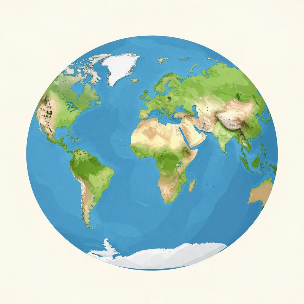
What did Pangea look like? In the simplest terms, it was a giant supercontinent made up of nearly all Earth’s landmasses joined together into one enormous shape. Around 335 to 175 million years ago, during the late Paleozoic and early Mesozoic eras, today’s continents were clustered into a single landmass surrounded by a vast global ocean.
Because Pangea was not a neatly drawn map but a moving plate-tectonic arrangement, its outline was irregular. It looked something like a huge C- or crescent-shaped landmass, with the continents of the Americas attached to Africa and Europe on one side and Antarctica, India, Australia, and others linked along the southern portion.
What Did Pangea Look Like?
Pangea looked like one enormous, uneven supercontinent that gathered most of Earth’s land into a single connected mass. It was bordered by the superocean Panthalassa, while a smaller ocean, the Tethys Sea, lay between the northern and southern parts of the land. Its shape changed over time as tectonic plates shifted.
A single landmass, not a perfect continent
Pangea was not a smooth oval or a simple blob. It had jagged coastlines, broad interior deserts, mountain belts, and shallow seas along its edges. The continents we know today were fitted together like pieces of a puzzle, though not perfectly, because coastlines have changed since then and plate boundaries are not identical to modern shorelines.
The rough overall shape
Most reconstructions show Pangea as a broad, curved landmass. The northern part, sometimes called Laurasia, included what would become North America, Europe, and much of Asia. The southern part, Gondwana, included Africa, South America, Antarctica, Australia, India, and Arabia. These regions were joined before later splitting apart.
How Scientists Reconstruct Pangea
Scientists do not rely on one ancient map. They reconstruct Pangea using geology, fossils, paleomagnetism, and the matching shapes of continental shelves. The best evidence shows that the continents were once connected, then separated as plate tectonics moved them apart over millions of years.
Fossils that match across oceans
Similar fossils found on now-separated continents helped reveal Pangea’s existence. For example, the same ancient plants and reptiles appear in South America, Africa, India, Antarctica, and Australia. These matches make sense if those lands were once joined, allowing species to spread across a continuous habitat.
Rocks and mountain belts that line up
Geologists also compare rock layers and mountain ranges. Some ancient mountain chains in North America, Europe, and Africa align when the continents are placed back together. This kind of structural match is one of the strongest clues that the continents once formed a single landmass.
Magnetic evidence from ancient rocks
When certain rocks formed, they locked in the direction of Earth’s magnetic field. By studying those magnetic signals, scientists can estimate where a continent was located in the past. This paleomagnetic evidence supports the idea that the continents were once joined and later drifted to their present positions.
What Pangea Probably Looked Like on a Map
If you imagine modern continents assembled into one shape, Pangea would appear as a huge landmass with a deep indentation where the Tethys Sea cut through the eastern side. Africa sat near the center, South America fit against western Africa, North America connected to Europe and parts of northwest Africa, and Antarctica lay toward the south.
Key parts of the reconstruction
- North America joined with Europe and parts of northwest Africa.
- South America fit against western Africa.
- Africa sat near the center of the supercontinent.
- Antarctica, Australia, and India were grouped in the southern portion.
- Madagascar was attached to the broader Gondwanan landmass before separating later.
This arrangement created a long, continuous interior far from the sea. As a result, much of Pangea’s interior was likely dry and seasonal, with deserts and limited coastal influence. That climate pattern is one reason many scientists think the supercontinent had harsh inland conditions.
Why Pangea’s Shape Mattered
Pangea was more than a geographic curiosity. Its shape affected climate, ocean circulation, animal migration, and the evolution of life. A single supercontinent altered rainfall patterns and created vast inland regions that were harder for moisture to reach.
Climate inside the supercontinent
Because so much land was concentrated in one place, the interior of Pangea likely experienced strong seasonal extremes. Coastal areas could receive ocean moisture, but the center of the continent was probably much drier. This helped shape ecosystems and influenced where plants and animals could survive.
Life could spread more easily across connected land
When continents are joined, land animals and plants can move over much larger areas. That helps explain why similar fossils appear across widely separated modern continents. Pangea allowed species to disperse before the landmasses split and isolated populations from one another.
When Did Pangea Exist?
Pangea formed gradually, not all at once. Most evidence places its full assembly around 335 to 300 million years ago, with its peak configuration in the late Carboniferous and Permian periods. It began breaking apart in the early Jurassic, roughly 200 million years ago, though the breakup happened in stages.
A short timeline of Pangea
- Before Pangea: Earlier supercontinents existed, including Rodinia and others in deep time.
- Late Paleozoic: Landmasses collided and assembled into Pangea.
- Permian period: Pangea was near its most complete form.
- Early Jurassic: Rifting began and the supercontinent started to split.
- Afterward: The Atlantic opened and the modern continents gradually emerged.
It is important to remember that “Pangea” is a reconstruction of a long-lived geological process, not a single frozen moment. Different maps may show slightly different outlines because scientists are interpreting ancient evidence, and the plates were still moving while the supercontinent existed.
Was Pangea the Only Supercontinent?
No. Pangea was one of several supercontinents in Earth’s history. Before it, there were earlier assembled landmasses, and after it, the continents continued drifting toward new arrangements. Pangea is famous because it is the most recent supercontinent and the one most directly connected to today’s geography.
Why Pangea is especially well known
Scientists can trace Pangea with relatively strong evidence because its breakup is geologically recent compared with older supercontinents. Its fragments became the continents we know today, making it easier to compare fossils, rocks, and coastlines across the modern world.
What Happened After Pangea Broke Apart?
After Pangea split, the continents drifted into their current positions. The Atlantic Ocean widened, India moved north and collided with Asia, and Africa, South America, Antarctica, and Australia continued separating. These changes reshaped climates, sea levels, and habitats across the planet.
Long-term consequences of the breakup
The breakup of Pangea had enormous effects on evolution and geography. Isolated continents developed different species. New ocean basins changed circulation patterns. Mountain building, volcanic activity, and shifting coastlines all followed from the movement of tectonic plates. In a real sense, the modern world was built from Pangea’s fragmentation.
What Pangea Was Not
Popular images sometimes make Pangea look too simple. It was not a single flat slab, and it was not surrounded by one uniform shoreline. It included highlands, basins, inland seas, and varying climates. It also was not a perfectly precise fit of today’s continents, because Earth’s surface has changed over immense spans of time.
Common misunderstandings
- Pangea was not just the continents “snapped together” like a modern puzzle.
- Pangea was not static; it changed as plates kept moving.
- Pangea was not the only landmass on Earth, since smaller islands and volcanic arcs also existed.
- Pangea’s outline is a scientific reconstruction, not a surviving ancient map.
Why the Question Still Matters Today
Asking what Pangea looked like is really asking how Earth works. Pangea shows that continents are not fixed forever; they move, collide, and break apart over geologic time. That insight transformed geology and helped explain patterns in fossils, rocks, earthquakes, and mountain formation.
In historical terms, Pangea is a reminder that Earth’s geography has a deep past. The continents we know are only one chapter in a much longer story of drifting land, changing oceans, and evolving life. If you want to explore more ancient geography and the places that followed, you may also enjoy where Carthage was located and what happened to Babylon.